
Heavy rain warning for next week.
Nepal on Alert as Bay of Bengal Storm Could Bring Over 200 mm of Rain Next Week
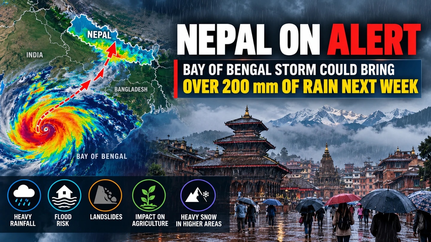
Nepal could experience a spell of significant rainfall next week as a developing weather system over the Bay of Bengal is expected to influence conditions across the country, prompting concerns over agriculture, travel, and possible weather-related hazards.
According to Nepal’s Department of Hydrology and Meteorology, a low-pressure area formed over the east-central and adjoining southeastern Bay of Bengal on Friday morning. The system is forecast to intensify into a cyclonic storm by Monday, October 26, before moving northwestwards towards the northern Andhra Pradesh and adjoining southern Odisha coasts of India.
The department has indicated that the system could begin affecting Nepal from Wednesday, October 28, with possible impacts continuing through Sunday, November 1.
Some Areas Could Receive More Than 200 mm of Rain
Meteorologist Binod Pokharel has warned that accumulated rainfall in some locations could exceed 200 millimetres during the expected wet spell. However, the figure represents a possible total over several days, not rainfall expected in a single day.
The actual amount of rainfall, its distribution, and the areas most affected will depend on how the weather system develops and interacts with atmospheric conditions.
Pokharel has also drawn attention to the potential consequences of heavy rainfall during Nepal’s paddy harvesting season, when prolonged wet weather could disrupt agricultural activities and damage crops. Travellers, particularly those planning journeys through Himalayan regions, may also face additional risks if conditions deteriorate.
Concerns for Agriculture and Mountain Travel
Heavy rainfall over a short period can increase the risk of flooding, landslides, and disruptions to road transport, depending on local conditions. In higher Himalayan areas, the weather system could also bring heavy snowfall, extreme cold, and an increased avalanche risk.
These possibilities make planning particularly important for farmers, trekkers, tourism operators, and people travelling through vulnerable areas.
The developing system has drawn comparisons with weather conditions associated with Cyclone Hudhud in October 2014, when severe weather in Nepal’s Himalayan regions resulted in significant loss of life. Meteorologists have cautioned, however, that similarities in forecast indicators do not mean the same outcome will necessarily occur.
Authorities Monitoring the Developing System
The Department of Hydrology and Meteorology has stressed that it remains too early to determine the precise rainfall totals, risk levels, and overall impact on Nepal.
The department has urged relevant sectors and the public to remain alert as forecasts evolve. Weather conditions may change in the coming days as meteorological agencies gain a clearer understanding of the system’s strength and movement.
Residents are advised to follow official weather bulletins, check conditions before travelling, and pay attention to warnings issued for their respective areas.
For communities across Nepal, the coming week will be an important period to monitor weather updates and prepare for possible disruptions without drawing conclusions before the forecast becomes clearer.